Certaines informations sont présentées en anglais.
À propos de moi
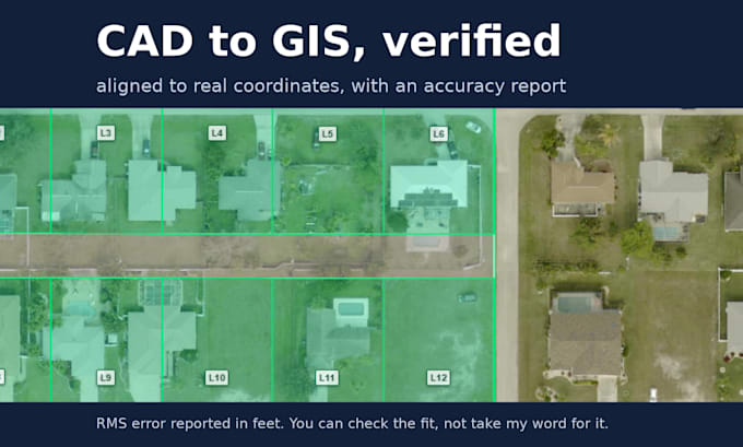
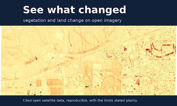
I am a senior engineer and inventor (13 US patents) who delivers verified geospatial data, maps, and automation. I pair modern, AI-accelerated tooling with real engineering discipline, so you get results fast and can trust every one: numeric accuracy reports, reproducible workflows, and honest limits stated plainly, never eyeballed or fudged. Typical work: CAD or DWG to GIS georeferencing, satellite change detection, interactive web maps, data cleaning and ETL, and cartographic production. Send me the problem and I will tell you what the data can honestly support.... Plus d’infos