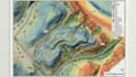
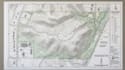
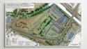
I will process lidar point clouds, create 3d models, dem, dsm and topographic maps

U
urelles_dillard
U
urelles_dillard
Urelles Dillard
Certaines informations sont présentées en anglais.

À propos de ce service

Raw LiDAR data is powerful, but without proper processing it can remain a dense cloud of points instead of useful terrain information.


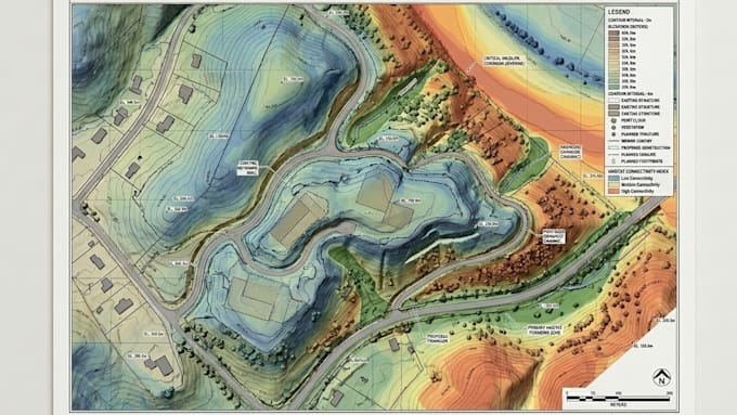
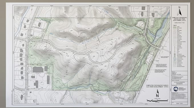
I process LiDAR point clouds into clean 3D models, DEM, DSM, and topographic maps that help reveal terrain, elevation, structures, and site conditions.


Why you may need this:

  • Convert raw point clouds into usable terrain products
  • Extract reliable elevation information for planning and analysis
  • Understand site conditions through accurate 2D and 3D visualization


I can provide:

  • LiDAR Point Cloud Processing
  • Point Cloud Classification
  • Ground Point Extraction
  • 3D Terrain Models
  • DEM Generation
  • DSM Generation
  • DTM Generation
  • Contour Maps
  • Topographic Maps
  • Elevation Maps
  • Hillshade Maps
  • Surface Models
  • Building Extraction
  • Terrain Visualization
  • GIS Data Processing


Why choose me?

  • Terrain-focused LiDAR processing workflows
  • Clean, structured geospatial outputs
  • Results organized for analysis, mapping, and planning


Have LiDAR or point cloud data that needs to become usable terrain information? Send your dataset and project requirements, and lets turn the raw scan into accurate elevation models and professional topographic mapping.

Préférence du type de livraison

Veuillez informer le freelance de toute préférence ou préoccupation concernant l'utilisation d'outils d'IA dans la réalisation et/ou la livraison de votre commande.

Découvrez Urelles Dillard

Urelles Dillard

GIS Geospatial Consultant And Mapping Spatial Analysis

  • DeÉtats-Unis
  • Membre depuisjuil. 2026
  • Temps de réponse moy.1 heure
  • Langues

    Anglais
I’m a GIS & Geospatial Consultant helping clients turn complex location, terrain, and spatial data into reliable information for engineering, planning, land development, surveying, and environmental projects. I specialize in GIS mapping, ArcGIS, QGIS, spatial analysis, remote sensing, web maps, plat maps, golf course maps, LiDAR processing, terrain modeling, parcel mapping, and 2D/3D visualization. I develop practical geospatial workflows that clarify site conditions, communicate findings, and support confident project decisions.

Autres services de Aménagement paysager I Offre