Je vais créer des cartes WebGIS dynamiques et des applications web GIS interactives

U
usmansheikh_5
U
usmansheikh_5
Usman Anwar
Certaines informations ont été traduites automatiquement.

À propos de ce service

Traduction automatique

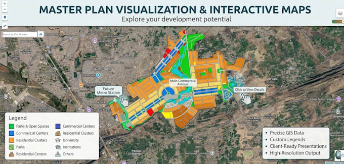
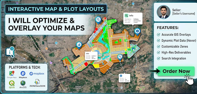
Je vais créer des cartes WebGIS dynamiques professionnelles et des applications web GIS interactives en utilisant vos données spatiales. Je peux intégrer plusieurs couches GIS, des styles personnalisés, des popups interactifs, la recherche, des filtres, des contrôles de carte et des interfaces web adaptatives. Que vous ayez besoin d'une carte simple ou d'un portail GIS avancé, je fournirai une solution conviviale et visuellement attrayante adaptée à vos besoins.

Découvrez Usman Anwar

Usman Anwar

Delivering GIS, Remote Sensing, WebGIS Solutions

5,0(6)
  • DePakistan
  • Membre depuisjuil. 2018
  • Temps de réponse moy.2 heures
  • Dernière commande1 an
  • Langues

    Anglais
Hi! I’m Usman Anwar, a GIS & Remote Sensing professional with 8+ years of experience in GIS, spatial data analysis, mapping, WebGIS, and geospatial solutions. Core Services: - GIS & Remote Sensing - WebGIS & Interactive Maps - Cadastral & Land Parcel Mapping - Digitization & Geospatial Data Conversion - Spatial Analysis & Thematic Mapping - Drone Mapping & Orthomosaic Processing - GIS Dashboards & Land Information Systems - QGIS, ArcGIS, Leaflet, Mapbox & Google Earth Engine Let’s turn your geospatial data into a powerful mapping solution!

Traduction automatique