Parcourir les catégories
Explorer
Fiverr Pro
Français
$
USD


Professional Interactive Web Maps & GIS Dashboards (ArcGIS)
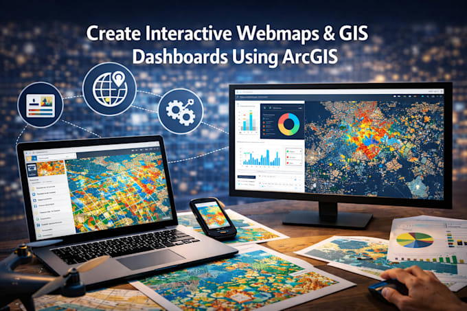
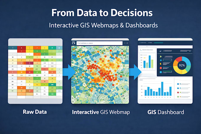
I design interactive web maps, GIS dashboards, and web GIS applications using ArcGIS Online and Experience Builder to help you visualize, explore, and communicate spatial data effectively.
At Vértice360, we focus on building clear, functional, and decision-oriented GIS web applicationsnot generic websites. Each project is developed with professional cartography, user-friendly interaction, and reliable performance.
What this service includes
Tools & Platforms
Important notes
If you're unsure which package fits your needs, contact me before ordering and Il
Veuillez noter qu’il est contraire aux politiques de Fiverr pour les freelances d’inclure des thèmes, des modèles ou tout autre élément d'autrui qui enfreint les droits de tiers ou les lois applicables pour les livrables. En savoir plus en lisant notre Guide pour une création numérique responsable.
GIS Specialist
Langues
Is this a normal website (WordPress, Wix, etc.)?
No. This service delivers GIS web applications built with ArcGIS (web maps, dashboards, and Experience Builder), not traditional websites.
Do you provide hosting?
The application is hosted on ArcGIS Online. You must have (or be provided access to) an ArcGIS Online organization.
What data do I need to provide?
You should provide your spatial data or access to existing ArcGIS layers. Public datasets can be used if agreed in advance.
What counts as a revision?
Revisions include minor layout or configuration changes (colors, labels, chart adjustments). New widgets, views, or datasets require additional hours.
Can you add more maps, dashboards, or widgets?
Yes. Additional functionality can be added using additional hours or a custom offer.
Can you deliver faster?
Yes. You can select Extra Fast Delivery when ordering, subject to availability.