Chris C

@vertigo_jcc

Owner JCSees Drone Solutions

États-Unis
Anglais
Certaines informations sont présentées en anglais.
À propos de moi
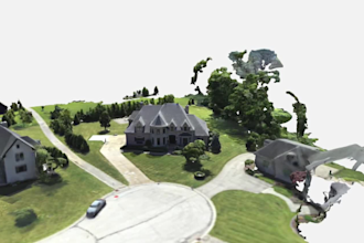
I’m a working drone operator who turns your aerial photos into useful maps and 3D models using WebODM, QGIS, and Sketchfab. Services include orthomosaics, textured 3D models, point clouds, surface models, GeoTIFF/JPG exports, scaled PDF maps, image-based measurements, selected-feature DXF exports, and interactive 3D model publishing. Contact me before ordering to discuss your imagery and goals. Accuracy depends on image quality, coverage, and available control data. Deliverables do not replace a licensed land survey.... Plus d’infos

Compétences

v
vertigo_jcc
Chris C
hors ligne • 
Temps de réponse moyen de 1 heure

Voir mes services

Système d'information géographique (SIG)
I will process your drone photos into orthomosaic maps or 3d models

Portfolio

Expérience professionnelle

JCSees_Drone Solutions offers high

Owner / Drone Pilot & Imagery Processing Specialist

JCSees Drone Solutions offers high • Indépendant

Oct 2024 - Present • 2 yrs

Own and operate JCSees Drone Solutions, providing drone photography and imagery processing. Use WebODM, QGIS, and Sketchfab to create orthomosaic maps, textured 3D models, and scaled aerial layouts. Projects include building documentation and pool and patio site maps with selected feature measurements. Prepare deliverables for clients to view, share, and use in project planning.