Parcourir les catégories
Explorer
Fiverr Pro
Français
$
USD

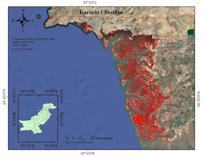
I will do GIS mapping, remote sensing analysis, and satellite data processing
Compétences
Voir mes services
Assistant Manager GIS
United Track system • Temps plein
Mar 2025 - Present • 1 yr 4 mos
Working with GPS-based vehicle tracking data, including live and historical location data from multiple tracking systems. Responsibilities include processing latitude–longitude data, verifying and correcting location information, identifying landmarks and addresses, and maintaining accurate location records for quality control and operational use. Involved in location validation within defined spatial thresholds, data consistency checks across databases, and preparing structured location datasets for reporting and export.
GIS Analyst
HISDU • Temps plein
Aug 2023 - Jan 2025 • 1 yr 5 mos
Worked on GIS-based spatial data analysis and mapping for development and planning-related projects. Responsibilities included processing and analyzing geospatial datasets, creating thematic and analytical maps, and supporting environmental and spatial analysis tasks. Gained hands-on experience with GIS tools, spatial data visualization, and research-oriented geospatial workflows.
