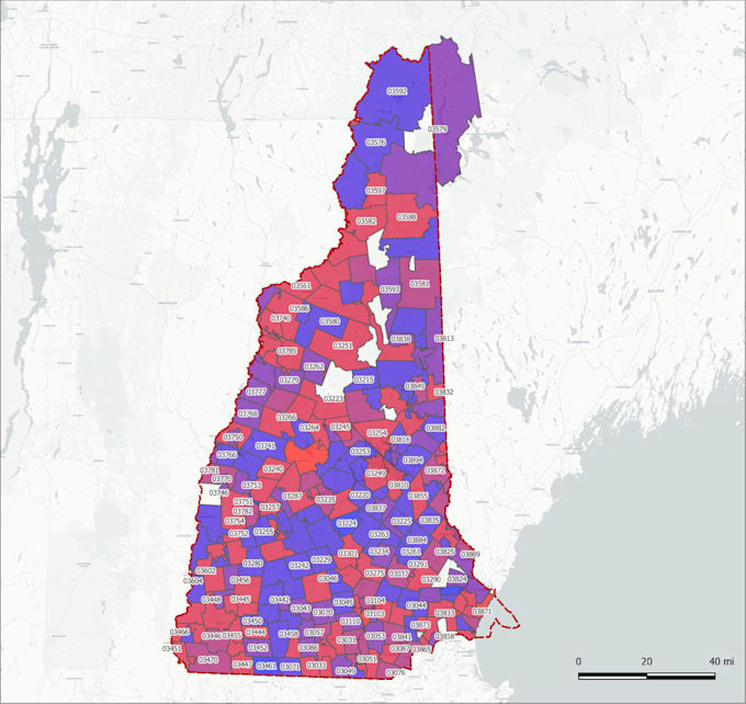
Je vais créer une visualisation de carte SIG

W
wiktorian
W
wiktorian
Wiktorian

Level 2

Certaines informations ont été traduites automatiquement.

À propos de ce service

Traduction automatique

Ce service comprend le développement de solutions SIG personnalisées en fonction de vos besoins. Il peut s'agir d'une visualisation de vos données sur une carte, du traitement de vos données, d'une analyse spatiale, de la numérisation d'images satellites à l'aide d'outils SIG, et autres.

Découvrez Wiktorian

Wiktorian

I develop interactive maps for various needs

5,0(251)

Level 2

  • DeUkraine
  • Membre depuisdéc. 2016
  • Temps de réponse moy.1 heure
  • Dernière commande4 jours
  • Langues

    Ukrainien, Anglais
Cartographer and Map Developer I focused on web mapping, GIS solutions, and graphic design (for maps). I am specialized in the work with interactive maps in vanilla JavaScript, SVG, HTML5 and also with GIS visualizations, geospatial analysis, processing, and vectorization ortho & raster images. I have the experience to work with geographic information systems as ArcGIS, QGIS, Google Earth, OSM and JavaScript libraries as D3.js, MapBox, Leaflet js, Google Maps JavaScript API, Carto and other.

Traduction automatique

Mon portfolio

Autres services de Data visualisation I Offre

Balises associées