Parcourir les catégories
Explorer
Fiverr Pro
Français
$
USD

Geospatial fullstack developer
Compétences
Voir mes services
Geospatial / Remote Sensing Engineer
Global Mangrove Trust • Temps plein
Aug 2024 - Dec 2025 • 1 yr 4 mos
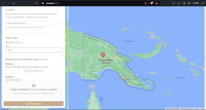
At GMT, I led the end-to-end development of Forest Scan, a satellite-based forest monitoring application focused on vegetation and biomass analysis. I designed, built, deployed, and currently maintain the platform, transforming raw Earth observation data into scalable, production-ready geospatial insights. Key Responsibilities & Contributions - Designed and developed Forest Scan, a forest monitoring application using satellite imagery - Implemented remote sensing workflows for vegetation and biomass analysis using Sentinel data - Built scalable cloud-based geospatial processing pipelines using Google Earth Engine - Deployed and manage the application on Google Cloud Platform (GCP) - Integrated geospatial analysis outputs into a user-facing application - Maintain, monitor, and improve system reliability, performance, and data accuracy - Support ongoing feature updates and long-term platform sustainability
